October 24, 2013

Credits: NASA/JPL/Arizona State University (ASU) - Credits for the additional process. and color.: Dr Paolo C. Fienga/Lunar Explorer Italia/IPF
|
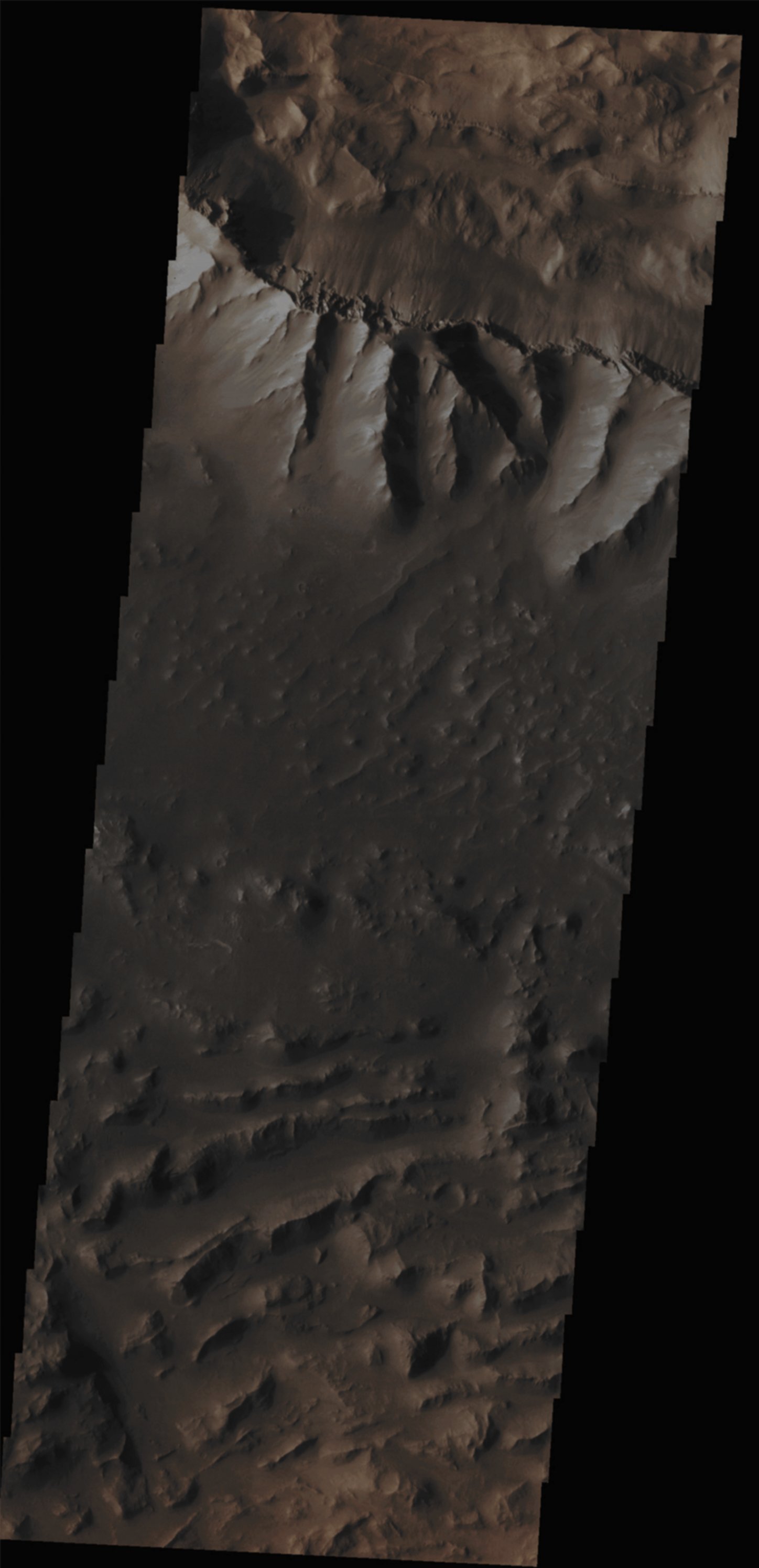
In this VIS image, taken by the NASA - Mars Odyssey Orbiter on August, 29th, 2013, and during its 51.935th orbit around the Red Planet, we can see a small portion of the Great Valles Marineris Canyon System; in particular, the Ridge that is visible at the very top of the image, has been the source of several large Landslides, whose dusty remains and feeble traces can now just be barely seen, towards the center and bottom-center of the frame. Latitude (centered): 12,5409° South This image (which is an Original Mars Odyssey Orbiter b/w and Map-Projected frame published on the NASA - Planetary Photojournal with the ID n. PIA 17533) has been additionally processed, magnified, contrast enhanced, Gamma corrected and then colorized in Absolute Natural Colors (such as the colors that a human eye would actually perceive if someone were onboard the NASA - Mars Odyssey Orbiter and then looked down, towards the Surface of Mars), by using an original technique created - and, in time, dramatically improved - by the Lunar Explorer Italia Team. |
News visualized: 770 times