


August 9, 2013

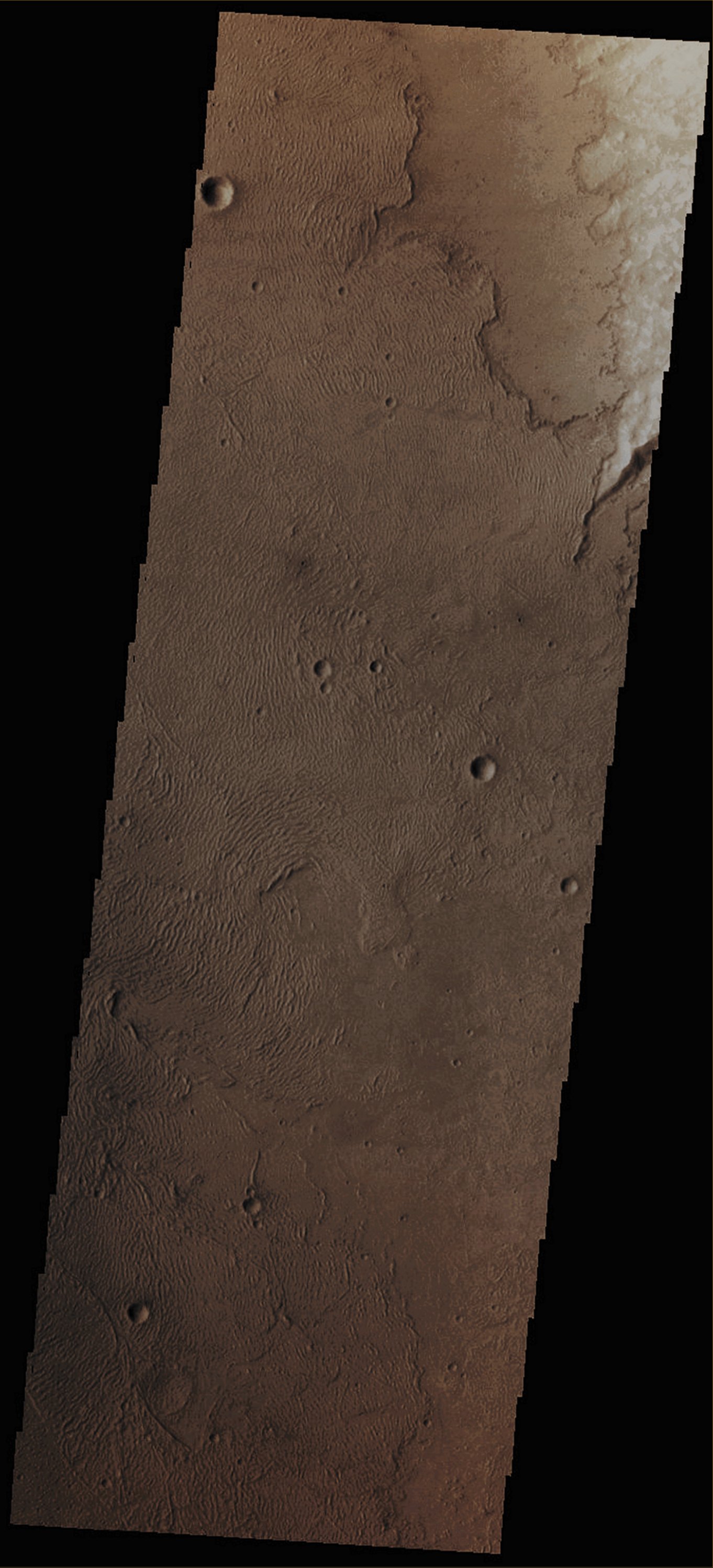
Credits: NASA/JPL/Arizona State University (ASU) - Credits for the additional process. and color.: Dr Paolo C. Fienga/Lunar Explorer Italia/IPF
|
In this VIS image, taken by the NASA - Mars Odyssey Orbiter on May, 15, 2013, and during its 50.651st orbit around the Red Planet, we can see Sand Dunes and a few small Impact Craters located on the South/Western Margin (---> border) of Daedalia Planum (a vast Martian Plain that is found South of the huge Volcano known as Arsia Mons, at about 21°48' South Latitude and approx. 128°00' West Longitude). In fact (and as of today), Daedalia Planum appears to be a - relatively - featureless Dusty Plain, covered by multiple (and overlapping) Lava Flows and small - as we can see in today's picture - Impact Craters. However, modern imagery suggests that Daedalia Planum should be called as a "Fluctus" - such as a Terrain covered by ancient Volcanic Outflows - rather than a "Planum" - such as a really flat Terrain that, always eons ago, might have been covered by a Sea or a Lake, probably with shallow Waters). Latitude (centered): 35,6702° South This frame (which is an Original Mars Odyssey Orbiter b/w frame published on the NASA - Planetary Photojournal with the ID n. PIA 17333) has been additionally processed, magnified, contrast enhanced, Gamma corrected and then colorized in Absolute Natural Colors (such as the colors that a human eye would actually perceive if someone were onboard the NASA - Mars Odyssey Orbiter and then looked down, towards the Surface of Mars), by using an original technique created - and, in time, dramatically improved - by the Lunar Explorer Italia Team. |
News visualized: 742 times