April 4, 2012

Credits: NASA/JPL/Cornell - MER Opportunity - Credits for the additional process. and color.: Elisabetta Bonora and Marco Faccin/Lunar Explorer Italia/IPF
|
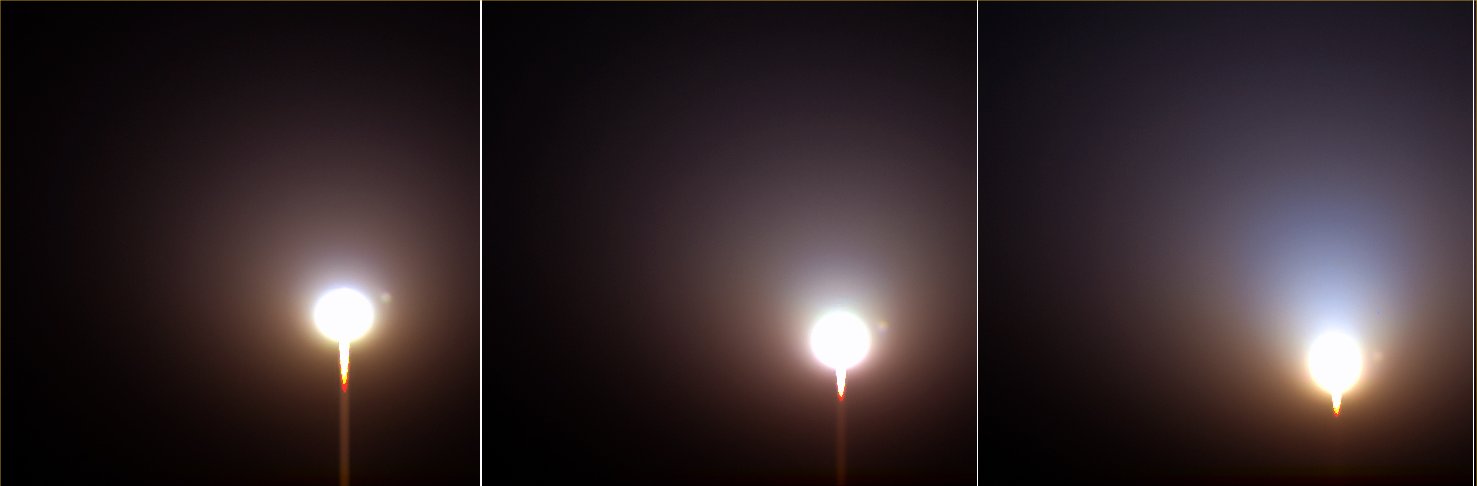
The exact location where the NASA - Mars Exploration Rover (MER) Opportunity landed (actually, we should say, just to be accurate in the description of the event, "The point where the Air-Bags protecting the Spacecraft - better yet: the Nest of the MER Opportunity - bounced several times before stopping and deflating") was within a small and highly eroded - and therefore ancient - Impact Crater which, some time after the arrival of the Spacecraft, was named "Eagle". In that zone, only a few isolated (erratic) Rocks were visible but, in very many other areas all around the Eagle Crater, soon was discovered the existence of large patches of exposed Bedrock that were not only well visible (and, as a matter of fact, hundreds of pictures of it were taken), but also easily accessible for close examination. Such surfacing Bedrock (also named, by the Italian Planetary Foundation, as "Martian Paving") was found to be a vast Sedimentary Rock Formation - likely extending all over the Surface og Meridiani Planum, and "hiding" only a few centimeters under the Sand - that contained, among others, a high concentration of Sulphur (in the form of Calcium and Magnesium Sulphates - also known as Hydrated Sulphates). The Martian Paving containing these abovementioned Sulphates has a very light (grayish) color, when compared to other (and much darker) erratic Rocks and Boulders present not only in the Plain of Meridiani, but also located elsewhere on Mars (and, in different times, examined by other Landers and/or Rovers); however, it is interesting to notice that its Spectrum is very similar to other Spectra (relevant to the Surface Minerals and Materials present on other Regions of the Red Planet) obtained by the Thermal Emission Spectrometer onboard the NASA - Mars Global Surveyor Orbiter (now decommissioned). Furthermore, since the same Spectrum characterizing the Martian Paving located at the Eagle Crater site (also known as "The Landing Site") and its proximities, was found in all the other places visited by the MER Opportunity, it is now strongly and reasonably believed by the Scientific Community that significant amounts of Water - a VERY long time ago - must have likely been present all over the Region, and not just in the few areas explored by the Rover. In addition to the above, the Alpha Particle X-Ray Spectrometer (APXS) onboard the NASA - Mars Exploration Rover Opportunity found rather high levels of Phosphorus in the Rocks of Meridiani Planum and, here is the most important information we have, similar high levels of this mineral were also found in Ares Vallis and Gusev Crater. Given all that, it has afterwards been speculated that the whole Mantle of Mars (or a big portion of it) may globally be Phosphorus-rich. It has to be said that the Minerals found in the Rocks of Meridiani Planum may also have originated throughout a process known as "Acid Weathering" of Basalt; now, since the solubility of Phosphorus is related to the solubility of Uranium, Thorium, and Rare Earth Elements, it is logic to suppose that all these Minerals should have enriched the Martian Rocks in the same way as the Phosphorus did and therefore, sooner or later, they should all be found present inside them (and, probably, in extremely significant quantities). The three frames forming this sequence have been colorized in Natural Colors (such as the colors that a perfetct human eye would actually perceive if someone were near the NASA - Mars Exploration Rover (MER) Opportunity and then looked towards the Horizon and the Sky above), by using an original technique created - and, in time, dramatically improved - by the Lunar Explorer Italia Team. |
News visualized: 794 times